20170315_101626-aspect-ratio-x

The Soil of Ramat Hanadiv

The soil survey of Ramat Hanadiv aims to provide detailed information on the characteristics of the various soil units found in the area, to map the spatial distribution of each soil type and to propose recommendations for future land-use and development policy.


קרקעות

A correlation was found between the nature of the area in terms of parent rock, regional physiographic structure, developing soil and the natural vegetation on one hand, and the land-use practised in this area, on the other.

This report presents a map of the geographic-topographic and landscape units of Ramat Hanadiv, as well as maps of the natural vegetation units and land-use categories. An analysis of these maps exemplifies the correlation mentioned above.

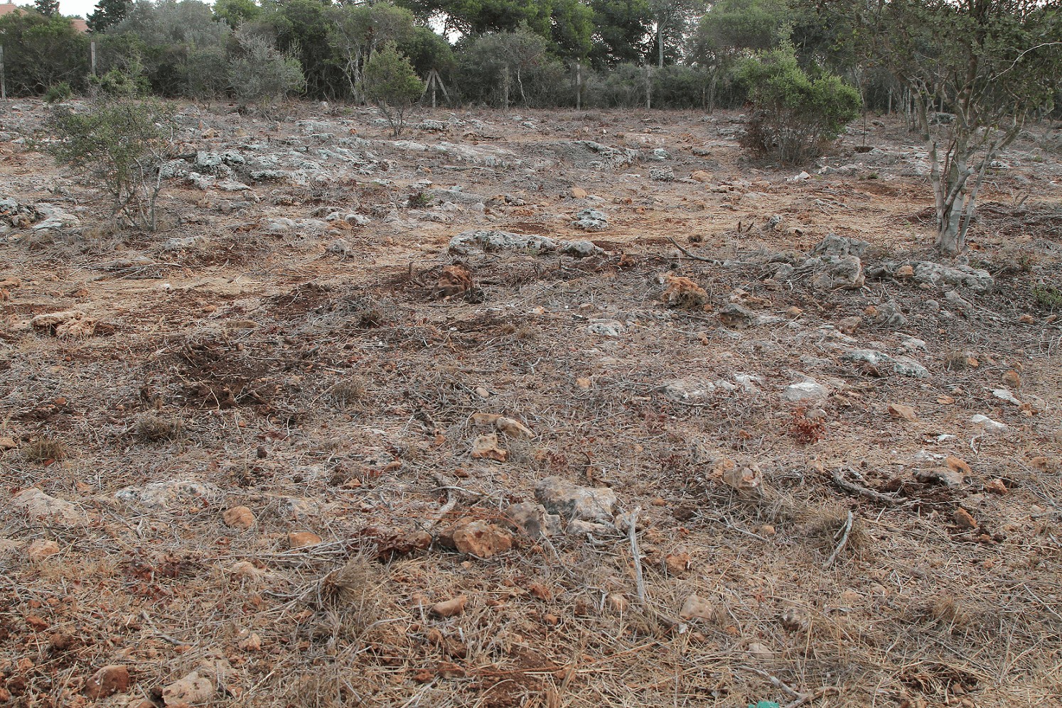
The principal factor determining soil development at Ramat Hanadiv is the parent rock: dolomite of the “Zichron formation”, volcanic marly tuff (“Shefeya formation”) and dolomite and limestone of the “Shune formation”, all of the Albian-Turonian Judea Group.

The eight soil units most common in the Ramat Hanadiv region were defined, mapped and described in this work. Each unit is described in the most detailed form, defined in the Israeli Soil Classification as “soil type”. The division of the area into soil units is based on morphological characteristics, diagnostic horizons, specific features, processes of soil evolution and correlation with parent material, physiography and environmental conditions.


The soil units of Ramat Hanadiv:

1-sh – Brown-red Terra Rossa – shallow, little or no lime, vertical structure includes layers. A (upper most) and R
(parent rock) or ABR. This soil is developed on hard limestone or dolomite (“Shune formation”)
2-z – Brown-red to reddish Terra Rossa – shallow, no lime, vertical structure includes layers AR of ABR on dolomite (“Zichron formation”)
2 – Dark rendzina – dark brown, shallow, low lime content, includes small stones and ABR layers on limestone of reef origin (“Shune formation”)
3 – Light rendzina – brown-grey, shallow, low to high lime content, ABCR layers on marly tuff
4 – Soil of colluvial-alluvial origin – brown-grey, moderate lime content, moderate depth, layers ABCR on tuff and marly tuff. Found in the broad tuff valleys
5 – Grumosol – high content of clay, dark brown, deep soil, developed slicken-sides at depth, layers ABBt, low to moderate lime content. Found in the valleys
6 – Hydromorphic soil – high clay content, brown-grey, contains lime, disturbed drainage. Found near the Ein Tzur spring
7 – Anthropomorphic soil – disturbed, stony, moderate lime content, changing vertical structure and soil features. Soil characteristics are affected by human activity. Found around the archaeological sites of Mansur el ‘Aqub and Hirbet Umm
el-Aleq.

Mordechai Kaplan
Abstract (p. 53-54)


Of further interest...

Accessibility

Visually Impaired

Many trails traverse the Memorial Gardens. We recommend this route, but you can choose to walk another route

For further information >>

Sustainability

Sustainable Gardening

Sustainable gardening is defined as gardening that considers the needs of the current generation without harming the needs of future generations. It includes garden design that considers the existing elements on site – the landscape, soil, environment and vegetation suitable for the region

For further information >>

Dining Here

Dining-The Picnic Site

The picnic area is located near the secondary parking lot. You are welcome to spend time there before or after your tour of the Gardens.

For further information >>