DSCN0039-LO-1-aspect-ratio-x

For the Benefit of the Wildlife Corridor

In February 2022, after a decade of efforts in collaboration with community members and environmental organisations to ensure the establishment of a wide, functioning wildlife corridor between the Nature Park at Ramat Hanadiv and Alona Hills and Ramot Menashe, the regional committee approved expansion of its width to 300 m.

Picture1

What’s all the fuss about?

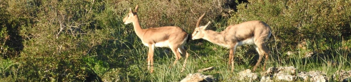
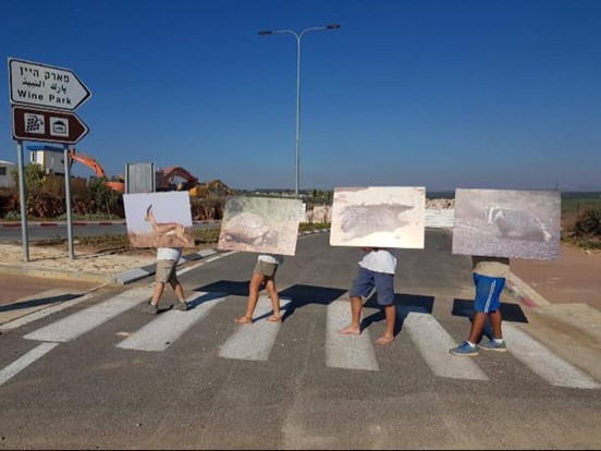
The hill, which is called “Gazelle Hill” by the locals, links the natural areas of Ramat Hanadiv with Alona Forest and Mt. Hurshan, and allows gazelles to move freely throughout this area, reproduce, and maintain a viable, resilient population. A tourist development plan, “The Wine Park”, included a narrow strip as a wildlife corridor, but did not consider a suitable width for the gazelles’ movement.

There was a concern regarding significant erosion of the gazelles’ habitat, which is already limited, and an irreversible impact on the ability of gazelles and other animals to move freely, thus putting their future existence in the region in jeopardy. A research study conducted in 2012 by the Dutch company, Alterra, proved that animals (e.g., gazelles, foxes and badgers) that cannot move between different populations – are expected to disappear from our region.

Picture2

A battle over the corridor’s width

Efforts made by concerned residents to raise the issue to the regional and national public agenda, alongside ongoing work by environmental organisations and Ramat Hanadiv, in conjunction with planning authorities and the project’s leaders, eventually led to a series of courageous decisions on the part of the Planning Bureau. The positive outcome is an updated plan and expansion of the wildlife corridor from 50 to 300 m (!) to facilitate wildlife movement.

Currently, wild animals are using the underpass, and now that the plan has been updated their movement within a sufficiently wide corridor is guaranteed. The experience of this campaign showed that the pressure applied by environmental organisations, civil society organisations and residents and collaboration with authorities and planning agencies – spur good decision making for the benefit of future generations. The shorter path is of course to avoid fragmentation of the landscape as much as possible, but when necessary – to consider in advance the creation of functioning corridors.