WhatsApp-Image-2019-03-13-at-12.02.58-1-aspect-ratio-x

Visual models as predictive, science-based tools for assessing future ecological landscapes: a study of viewpoints and management decisions compared to standard scientific tools

Liat Hadar, Yagil Osem, avi perevolotsky, Jochen Mulder, Agnes Kirchhoff, Daniel Orenstein, yohay Carmel

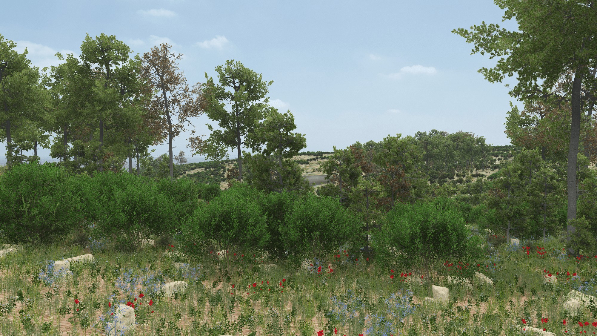
Socially driven landscape changes strongly influence the landscape’s aesthetic qualities and functionality, hence most decisions regarding landscape management include a “subjective” component, for which ecological data alone will not suffice. While landscape planners have access to biophysical data for decision making, they often do not have necessary information about social variables, such as aesthetic tastes and feeling or functions of a place. They further face difficulties visualizing future landscapes under alternative management choices and assessing their social and ecological implications.

Pers5_South_Scen4a_v2.jpg

To solve this problem, empirical, quantitative ecological data on vegetation composition, pattern and processes (in an LTER site in Israel) were translated into a computerized, 3D visual representation of current and future landscapes.

Our objectives were (1) to visualize major landscape shaping processes, such as wildfire, drought and species colonization, for managers, planners and the general public and envision the visual significance of management alternatives over decadal time scales; and (2) to study the unique contribution of science-based visual models to decision-making processes regarding natural resource management, and the means by which such models can mediate between objective features of landscapes and the way they are perceived by different audiences.

The visual model is based on 30 years of scientific knowledge and ecological data describing vegetation processes in Ramat Hanadiv Nature Park, a case study which represents a set of conditions and processes relevant to many landscapes in Israel and in Mediterranean ecosystems worldwide. Validation was necessary to demonstrate similarity between the 3-D model and reality before studying its role in decision-making. Validation was performed by comparing the current state model representation with real world photos from the perspective of the observer. The model was found to be a valid representation of reality (G-test; p<0.0000).

The visual model is examined as a decision-making support tool, regarding how it impacts decisions compared to verbal information, graphs and GIS maps (“standard scientific tools”).

Looking to the future – the power to create from future images from scientific data to improve decision making processes, allows us to balance ecological and social needs while striving for sustainability.


Of further interest...

Accessibility

An accessible trail through the Nature Park

In the Nature Park at Ramat Hanadiv there are a number of spectacular hiking routes.

For further information >>

Sustainability

Establishment of the Partnership for Regional Sustainability

In 2015, Ramat Hanadiv established the Partnership for Regional Sustainability, aiming to combine forces for the quality of life in the region.

For further information >>

Dining Here

Dining

To complete your Ramat Hanadiv experience, you are cordially invited to enjoy the culinary pleasures of Mata’im, the cafe-restaurant on our premises.

For further information >>