image-1-aspect-ratio-x

Community Mapping of the Urban Forest

Trees make an important contribution to the quality of life and the environment, particularly in built-up, settled areas. Ramat Hanadiv is leading a project in collaboration with the Zichron Ya’akov Local Council to map the state of the existing trees and their characteristics and plan the expansion of the urban forest.

IMG_0533

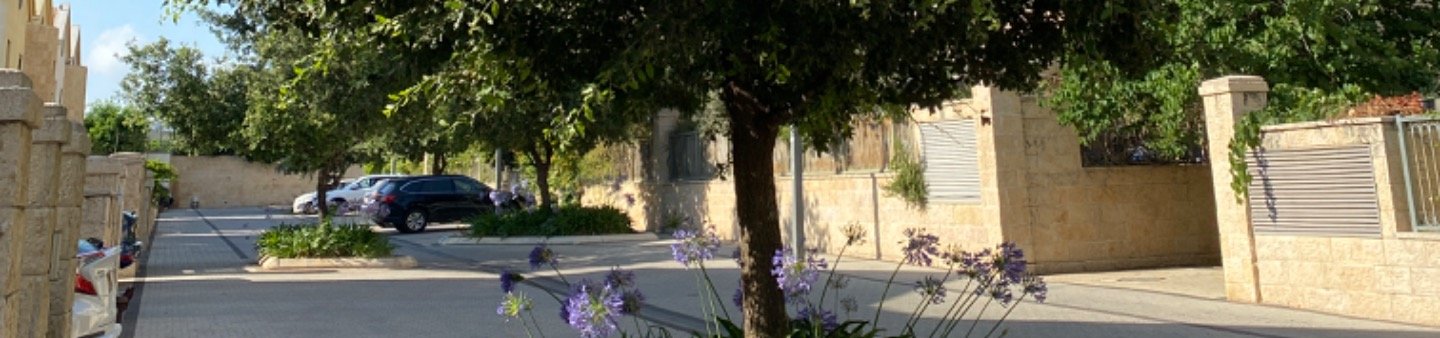
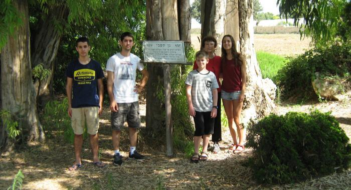
At the initiative of active residents and tree lovers in the town, who linked up with Zichron Ya’akov Local Council and Ramat Hanadiv, the project was established with the aim of expanding the town’s shady areas, developing tools for managing the urban forest, involving the community and strengthening the residents’ connection to the trees.

As part of this project, Ramat Hanadiv developed an app that enables collection of information and mapping of the trees, and construction of a database to facilitate informed management and treatment of the trees by the council.

Later on, use of the app was expanded to enable mapping of potential future plantings, with an emphasis on promoting walkability to educational and public institutions.

Likewise, Ramat Hanadiv is assisting the planning of the plantings and serves as a professional partner in the project.

We present you with a glimpse of the tree mapping which is updated in real time (In Hebrew).
You can reduce/increase the resolution, focus on specific neighbourhoods, click on your selected tree and get information about it and enjoy the photos uploaded by the volunteers.